Moving time: 11:16:04 – Distance: 246.7km – Climbing: 1257m
This route connects several of my favorite roads northwest of Seoul. It follows the Han river into Gimpo prefecture and continues east toward the islands of Ganghwado, Gyodongdo and Seongmodo. Most of the route is on cycling paths or quiet roads near the Demilitarized Zone. Except for a brief climb in Ganghwado, all is flat.
Part 1: From Seoul to the DMZ
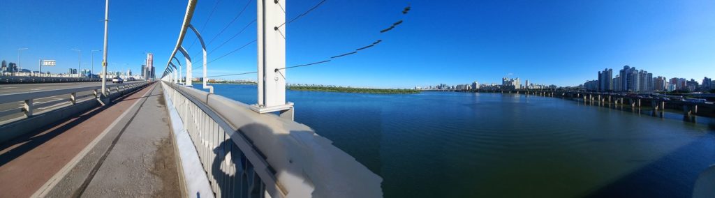
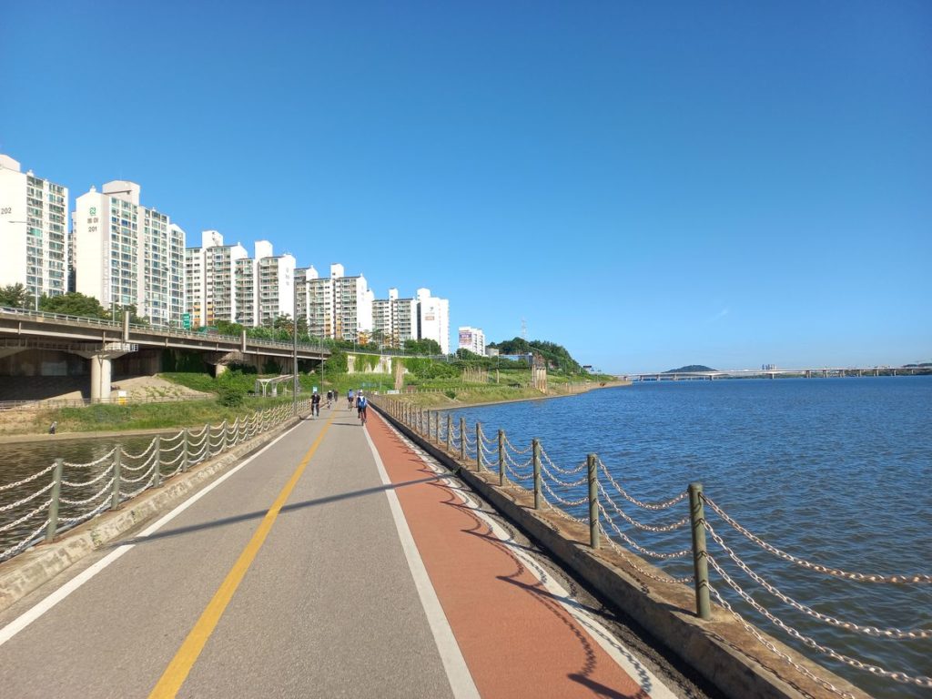
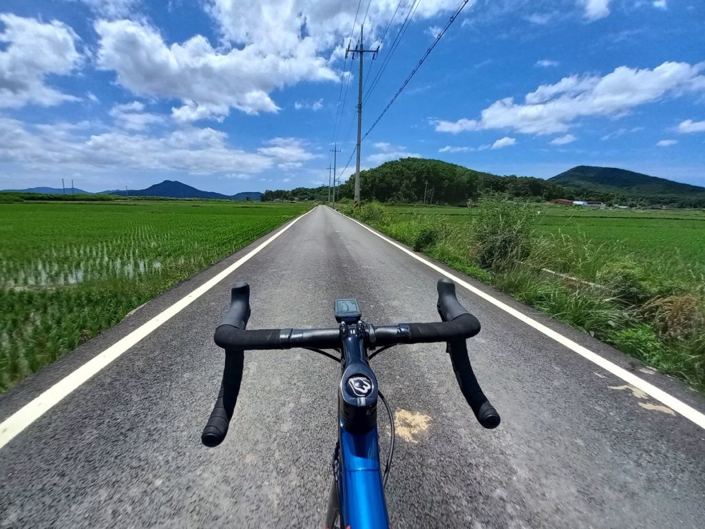
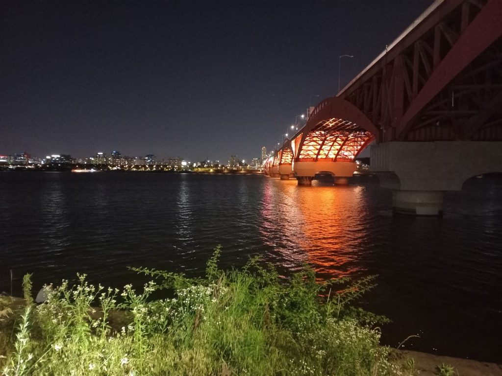
I departed from Gwanghwamun square on a Wednesday morning at 7:00. Usually, I would get to the Han river via the cycling path at the Hongjecheon Stream, but this time, given the lack of traffic, I took the most direct route across the city. At the Han river, I crossed Mapo Bridge and entered the cycling path of Yeoeuido. From there, I passed the National Assembly Hall and the Ara Waterway. At the intersection with the Ara river, there is a resting area for cyclists with a stamp booth for the Seoul to Busan trail.
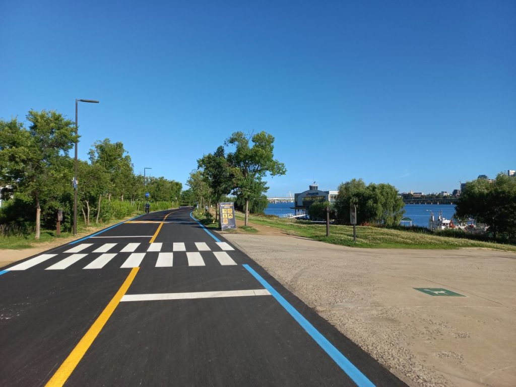
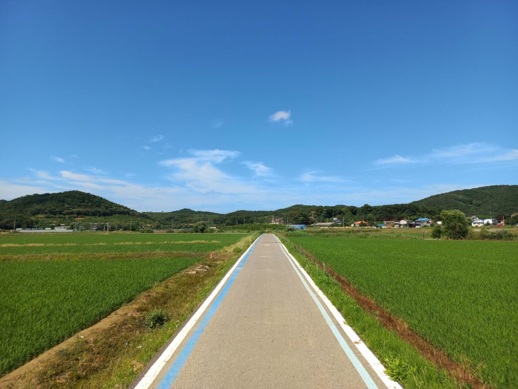
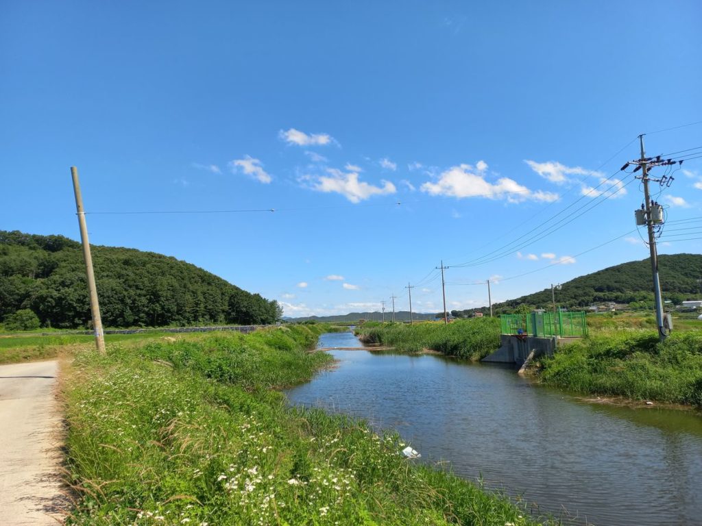
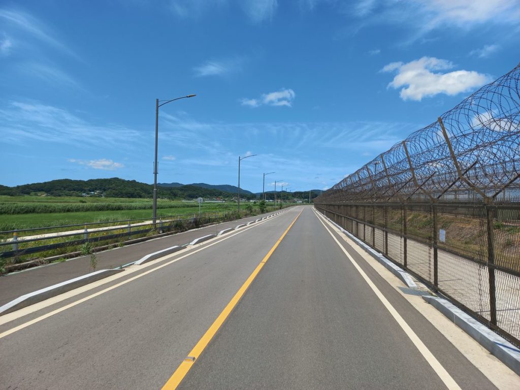
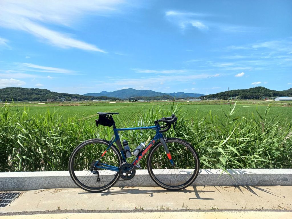
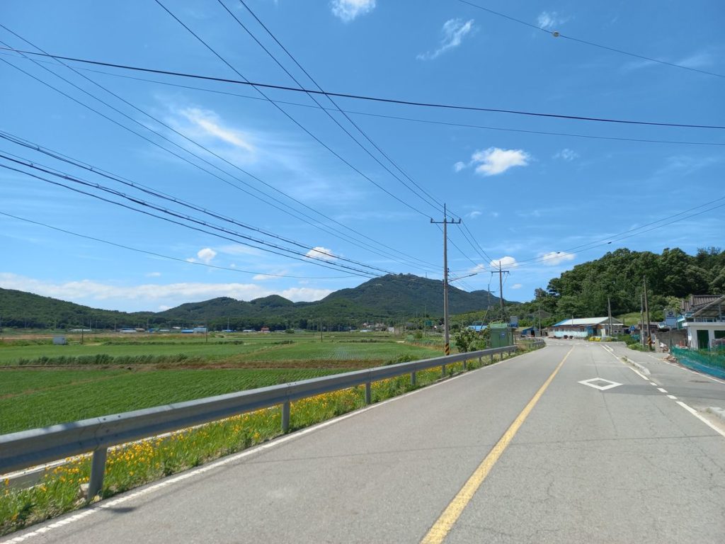
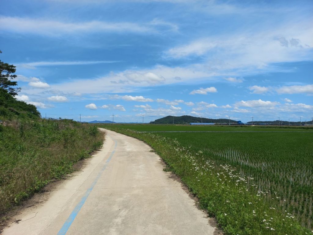
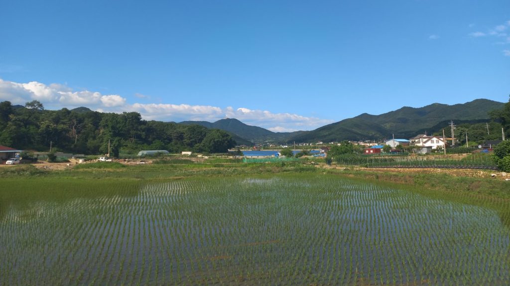
After entering Gimpo prefecture, the shores of the Han river become increasingly militarized because of the proximity of the Demilitarized Zone (DMZ). In Gimpo the Han bike path merges into the Peace Trail (평화 누리) – a dedicated trail that follows the DMZ across Gimpo and Paju prefectures. Around the 40th kilometer, the suburban landscape gives way to vast areas of cultivated rice fields. At the 44th kilometer there is a bird-watching area with vending machines and restrooms.
Part 2: Tree Islands
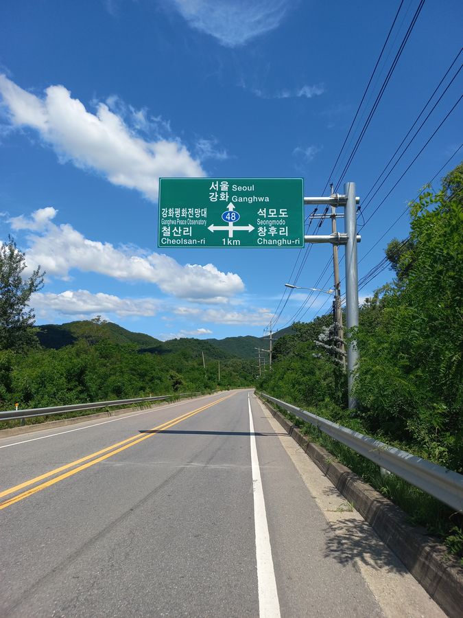
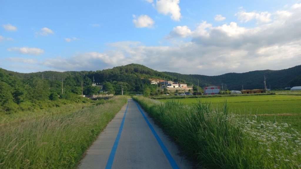
Continuing on the Peace Trail, I headed west across a few rolling hills on quiet streets immersed in the shade of pine trees. At the 66th kilometer, I left the bike path to enter Rd. 48 and cross to Ganghwa Island.
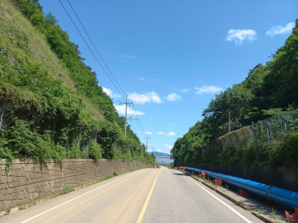
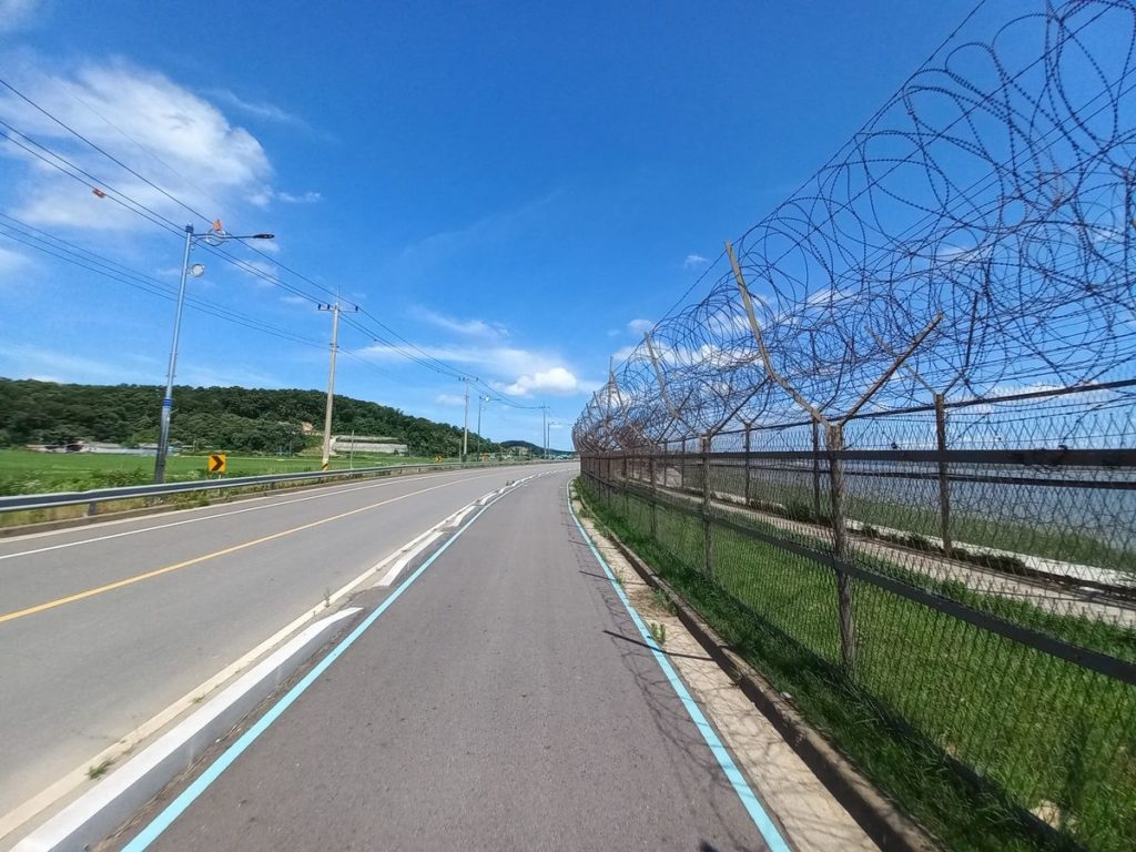
Ganghwa island is a popular weekend destination among golfers and hikers. However, most tourist attractions, including the sacred Mt. Mani, are clustered in the south. The north shore of the island has remained depopulated and underdeveloped because of its vicinity to North Korea. In order to enter this area, I had to pass a military roadblock and log my name using my residence card.
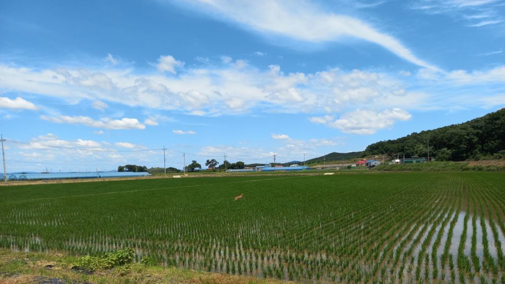
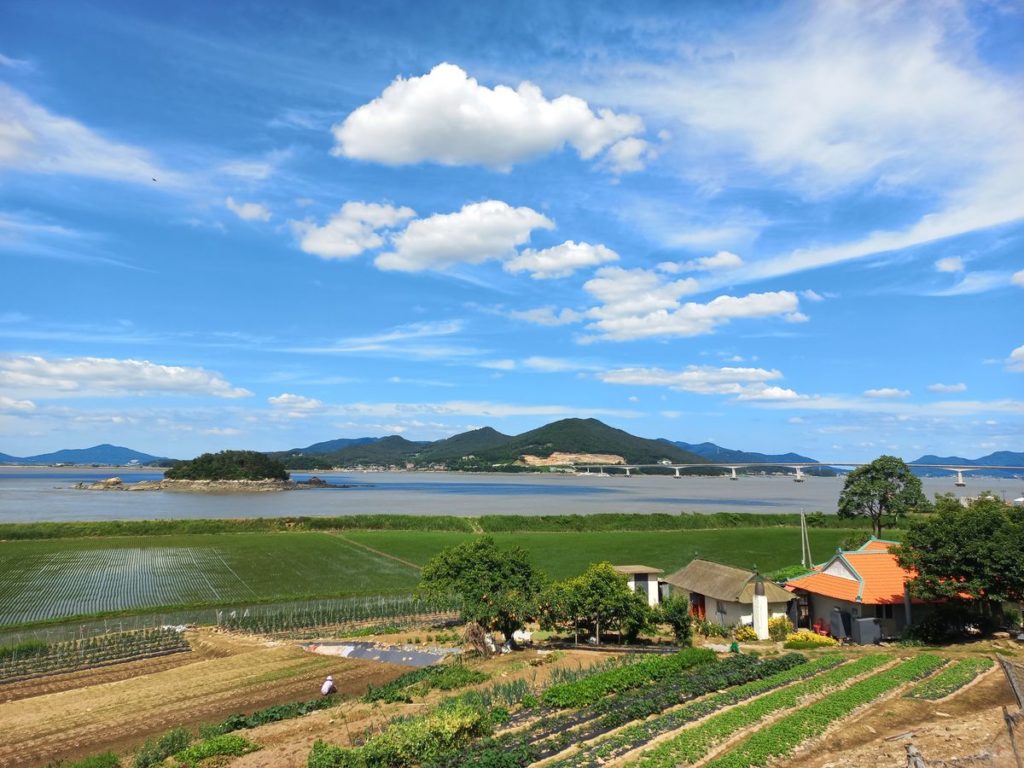
The flora and fauna of Ganghwa is remarkable. During this ride I even encountered a deer that, spooked by my noisy Campagnolo freehub, escaped jumping in water of a rice field. Sights like this are exceptional around Seoul area. Likewise, it is uncommon to see old farm houses preserved in their original state, with mud walls and tin roofs. If it wasn’t for the sight of North Korea, I would have guessed that the kilometers of barbed wires and military presence in the area were to preserve this piece of land from the obscene concreting and redevelopment of suburban Seoul.
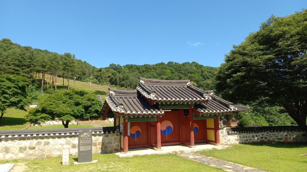
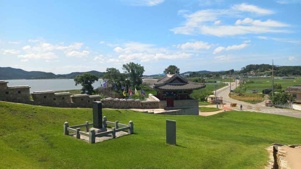
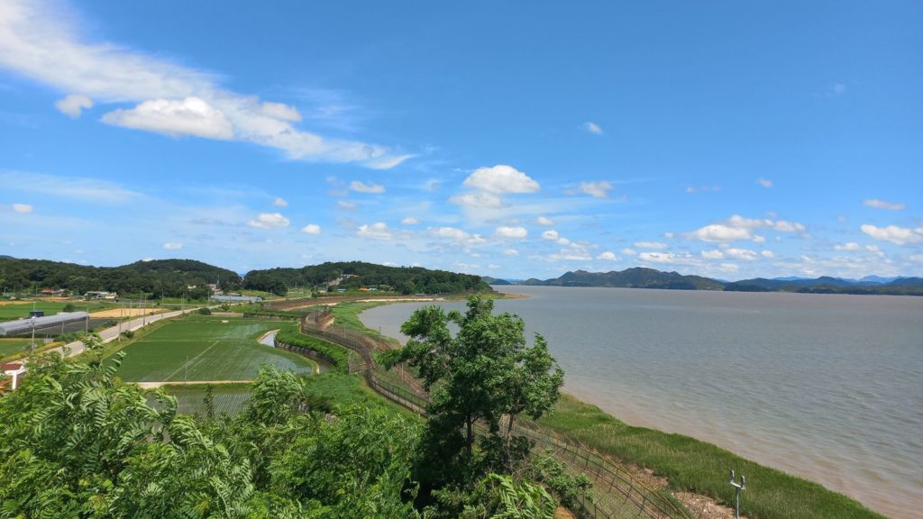
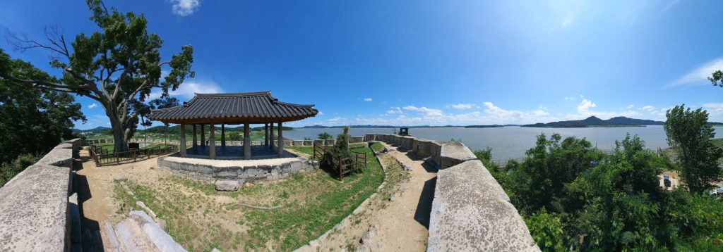
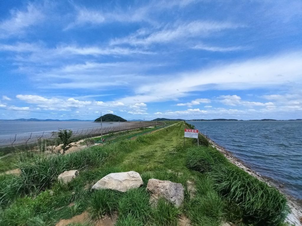
North Korea can be observed from several points along the coastal road. However, I would recommend taking the time to stop at the Yeonmijeong Pavilion to have a good look. The pavilion was part of the larger complex (Wolgotjin Fort) built in the 16th century to serve as transportation hub between China to South Korea. Now, the Wolgotdondae watchtower stands facing the meeting point between the Han river and the Yellow Sea, only 2 km away from the North Korea shore. A few minutes away from the watchtower, it is also possible to stop in the Goryeo Cheondo Park or the Ganghwa Peace Observatory. However, I find the Yeonmijeong Pavilion the most scenic spot on the route.
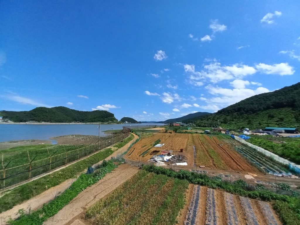
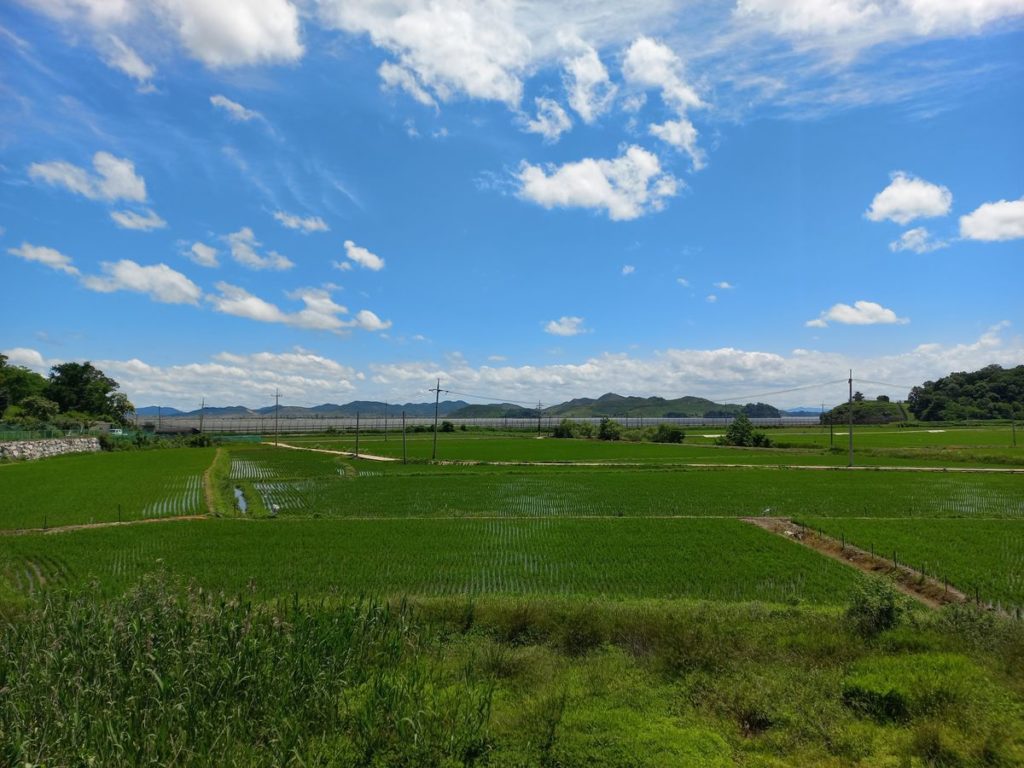
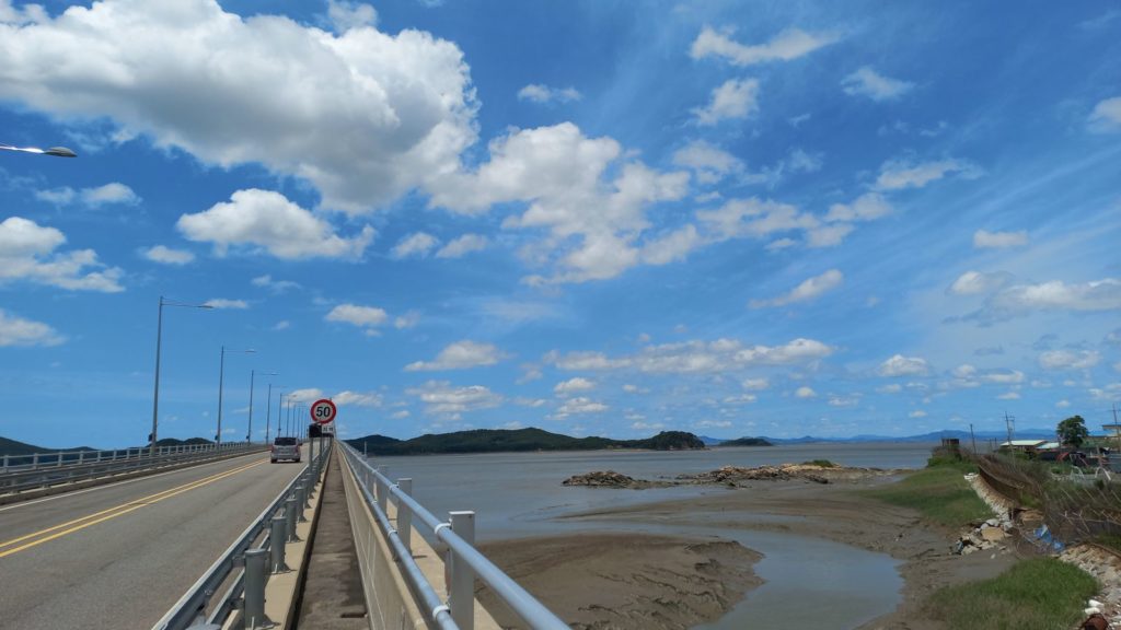
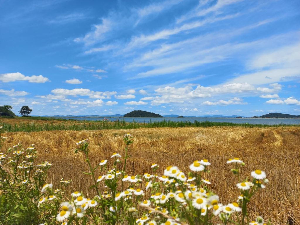
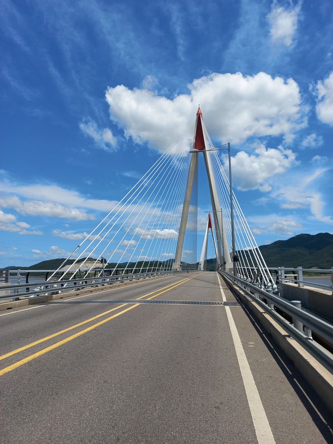
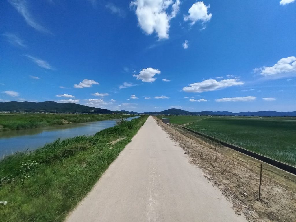
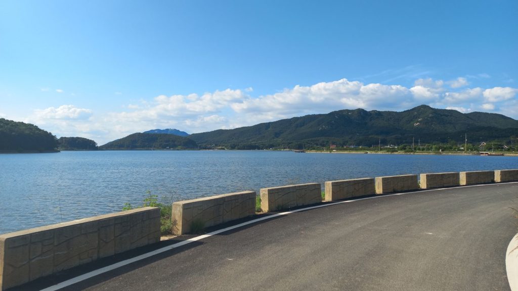
Continuing with the ride, after about 130km, I joined again Road 48 and, after another military checkpoint, entered Gyodongdo Island. The Island has two major tourist attractions, the Daeryong Market and the Manghyangdae Memorial, which commemorates refugees from Hwanghaedo Island (now North Korea). I skipped these destinations to ride along the coast, at times following the dedicated bike trail that circles the island. Gyodongdo is characterized by low-lying rice fields and lone hills along the coast. The panorama along the Nanjeong Reservoir, a fishing hotspot, is especially striking.
Back in Ganghwado, I rode south for another 15km along rural roads. Then, I finally reached Seongmodo — the third island of the day. Being further away from the DMZ, Seongmodo is cluttered with cafes and pensions welcoming weekend visitors from Seoul. I rode along the costal road and skipped the mountainous area, which meant that I could not visit the Bomunsa Temple and its famous Buddha. Next time, at least, I will have something new to see.
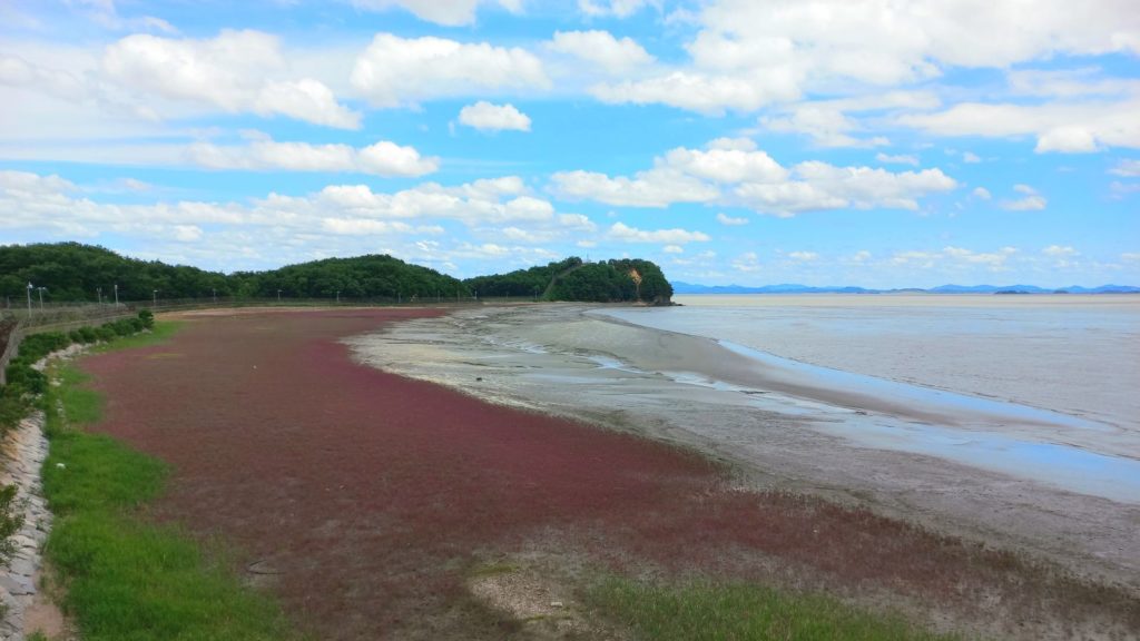
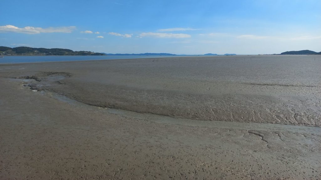
On my way to leave the island, I stopped on the east shore to take some pictures of the low tide of the Yellow Sea, which exposes kilometers of mud from the shoreline. Opposite to where I stood, I could see the profile of Mt. Mani, which at its summit has an altar where Dangun (the founding father of Korea) performed ritual ceremonies.
The legend of Dangun is not widely known outside of Korea. The tale narrates that his godly father, Hwanung, descended on earth at Baekdu Mountain (the same place where Kim Jong-il claimed to be born) with 3,000 followers. There, he established a civilization with laws and moral codes. One day, a tiger and a bear, awed by his work, asked Hwangung to become human beings. Hwangung commanded them to eat mugwort and garlic for a 100 days while staying out of sunlight. The tiger gave up after 20 days, but the bear, patient and resilient, persevered and transformed into a woman. She then married Hwanung and, in 2333 BC, gave birth to Dangun Wanggeom, who founded the Joseon dynasty.
After a brief break reading the Wikipedia page of Dangun, it was time to return to Seoul.
Part 3: Returning to Seoul while avoiding traffic
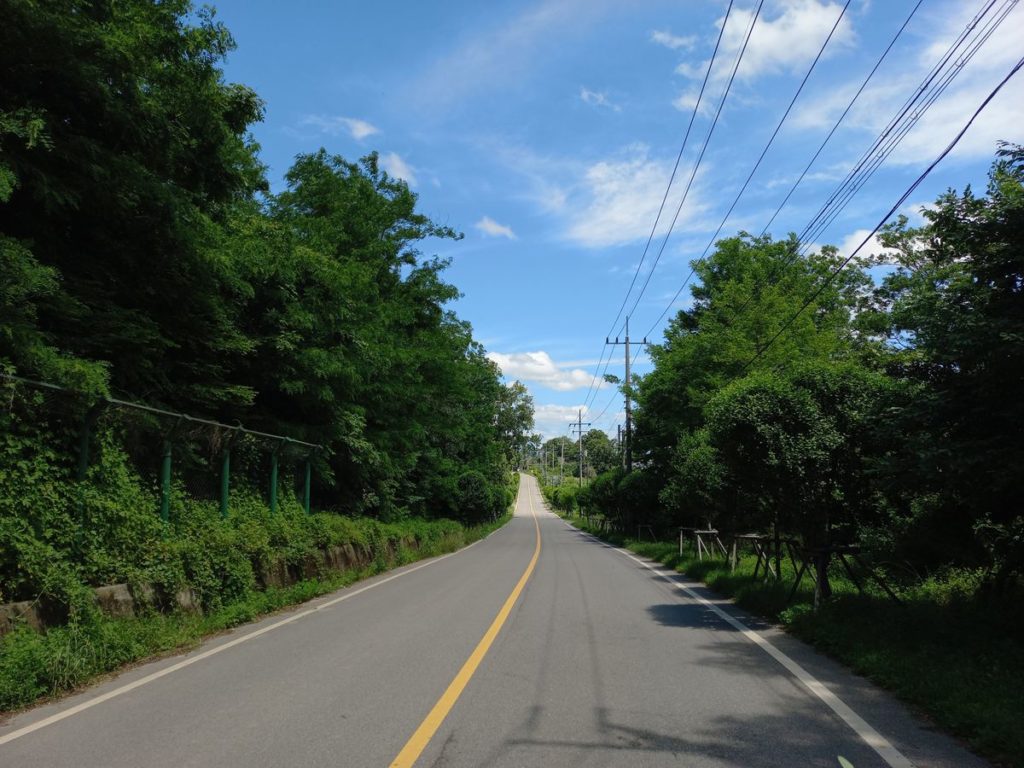
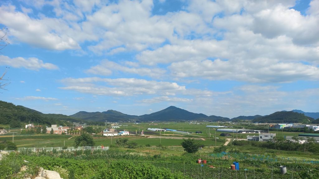
The most direct route from Seongmodo to Seoul is a state road with heavy traffic and ugly industrial scenery. For this reason, I recommend adding a few kilometers to the route to stick to safer and quieter roads. More precisely, I recommend going north in Ganghwado across the Mt. Koryo pass and then, back in Gimpo, continuing along the Peace Trail. The ride to Mt. Koryo adds some elevation to the route profile, but it pays off with many scenic views. Also, a bit of elevation can be fun after a long day riding on flat roads.
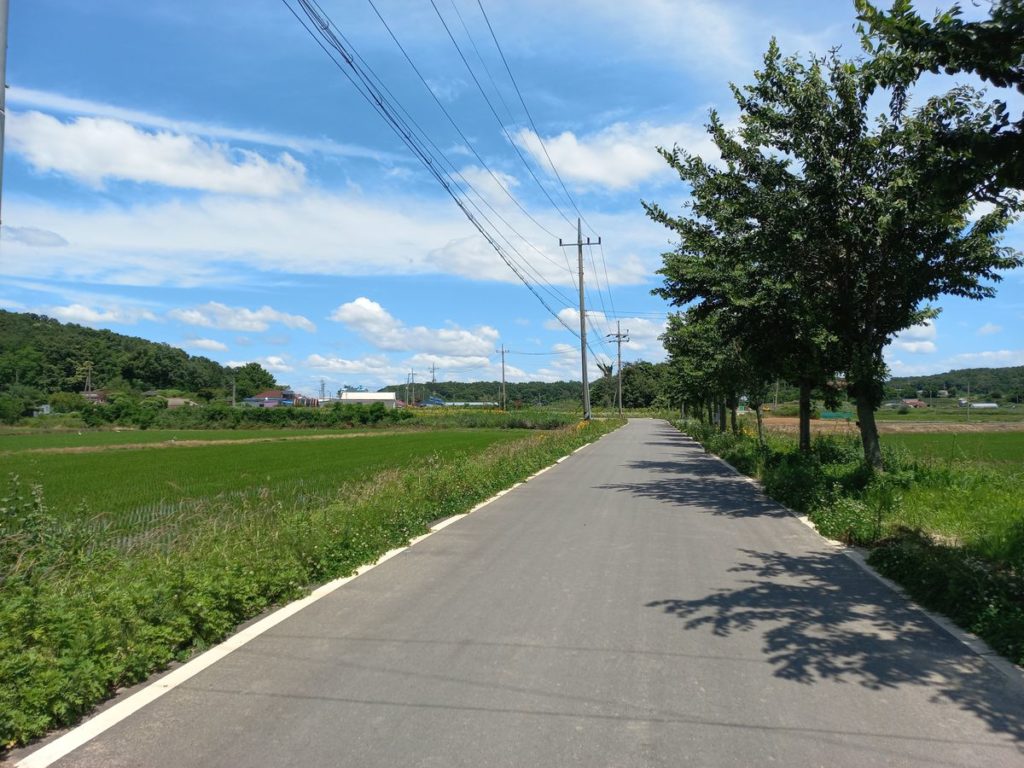
Finally, going back in Gimpo, I suggest following the Peace Trail up to km 191 and then leaving it to follow the road next to the Komuldae stream (거물대천). Otherwise, you will need to cross Gimpo further south, where there are no proper roads for cyclists. Back on the Han river, you can easily ride back to Seoul following the same route of the morning or, as I did, changing side of the river.
Final notes
As you can notice from the GPX trail, this route is composed of five loops. This means that it can be easily shortened to include only a few sections. I would, however, recommend sticking with my GPX trail in Gimpo to avoid the industrial areas with heavy load traffic.
Altogether, this route offers some of the best views and roads out of Seoul. I highly recommend it.