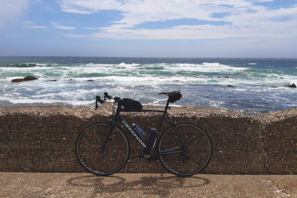
Moving time: 9:14:15 – Distance: 200.2km – Climbing: 761m
Maps have natural points of attraction, such as mountain passes, bridges, rivers, and towns. Our eyes are drawn to these landmarks as it is through these points that we make sense of space. And it is in the act of drawing a breadcrumb line with our GPS among these points that we end up designing a beautiful route that is worth riding. This is one of those routes.
I departed from Tokyo at six am and headed east following the same route of the “Tokyo to Boso ride.” The wind usually blows from the Pacific and enters the bay from the south. For this reason, I suggest riding Tokyo Bay clockwise. It’s much easier to have a headwind during the first half of the ride.
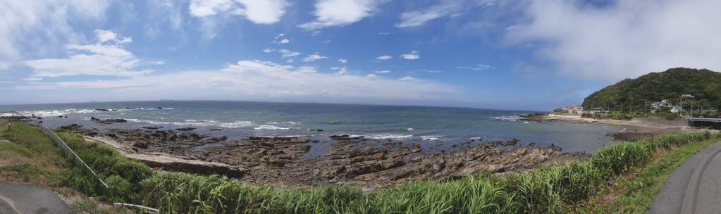
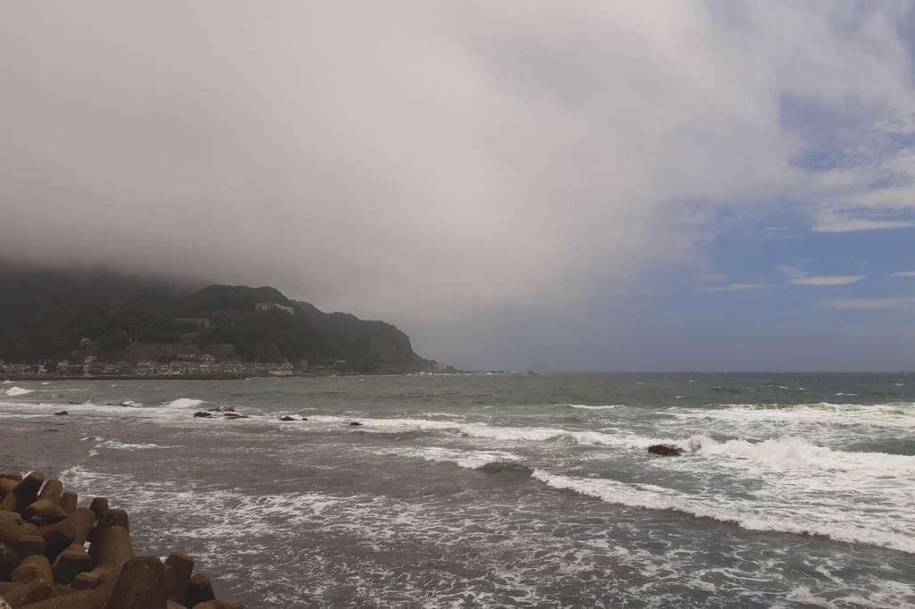
Arrived in Boso, I rode inland to avoid the coastal area, which is industrial and congested. Overall, the road across Boso is enjoyable. Hills are gentle and roads are quiet. The route inland is also less exposed to the wind. Indeed, when I arrived at the coast near Kanaya, I was surprised by the strong headwind and started pushing too hard to maintain the pace.
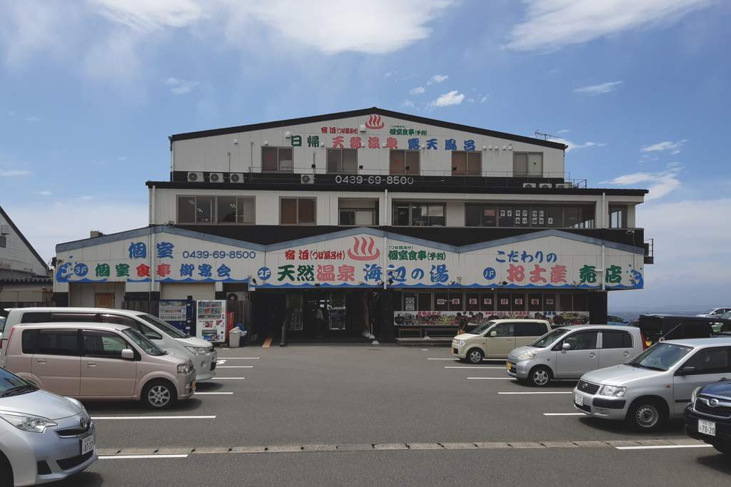
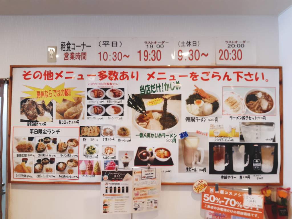
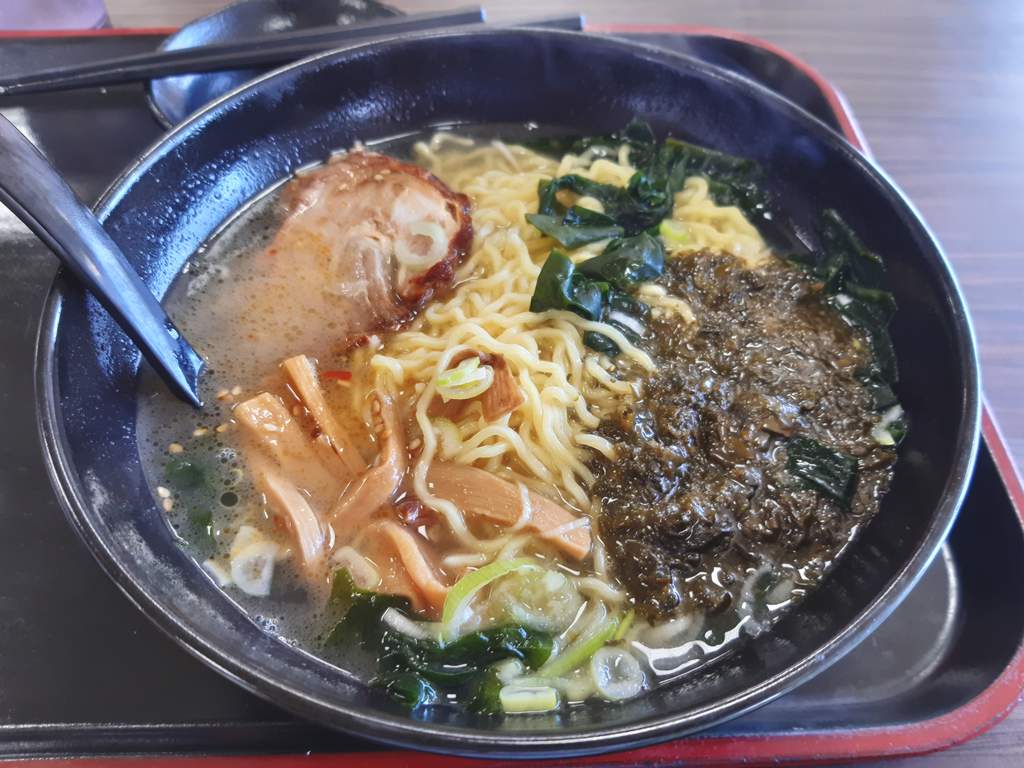
Due to the headwind, I decided to take a later ferry and stopped for lunch at a nice restaurant overlooking Uraga Channel. Food was great, and the massage chair in the lounge of Umibe No Yu was a nice treat. If the weather had not been so hot, I would have probably used the onsen.
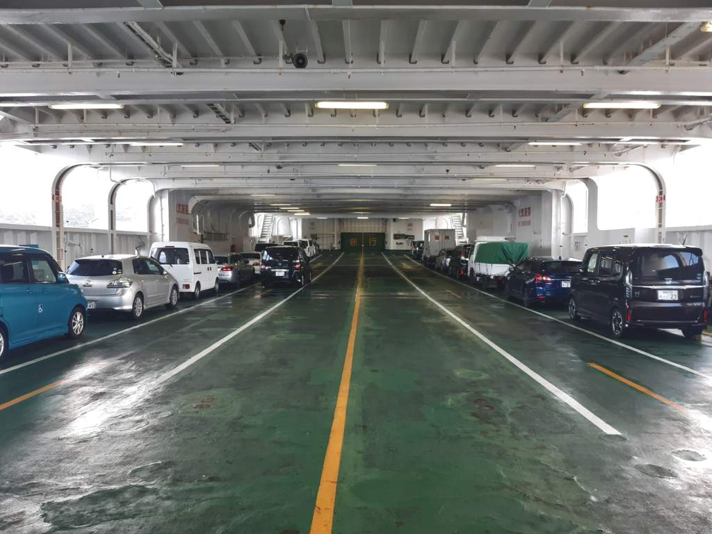
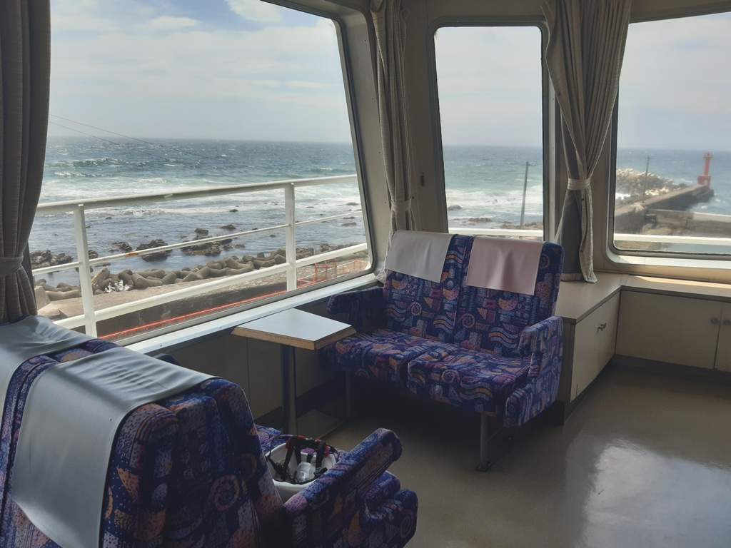
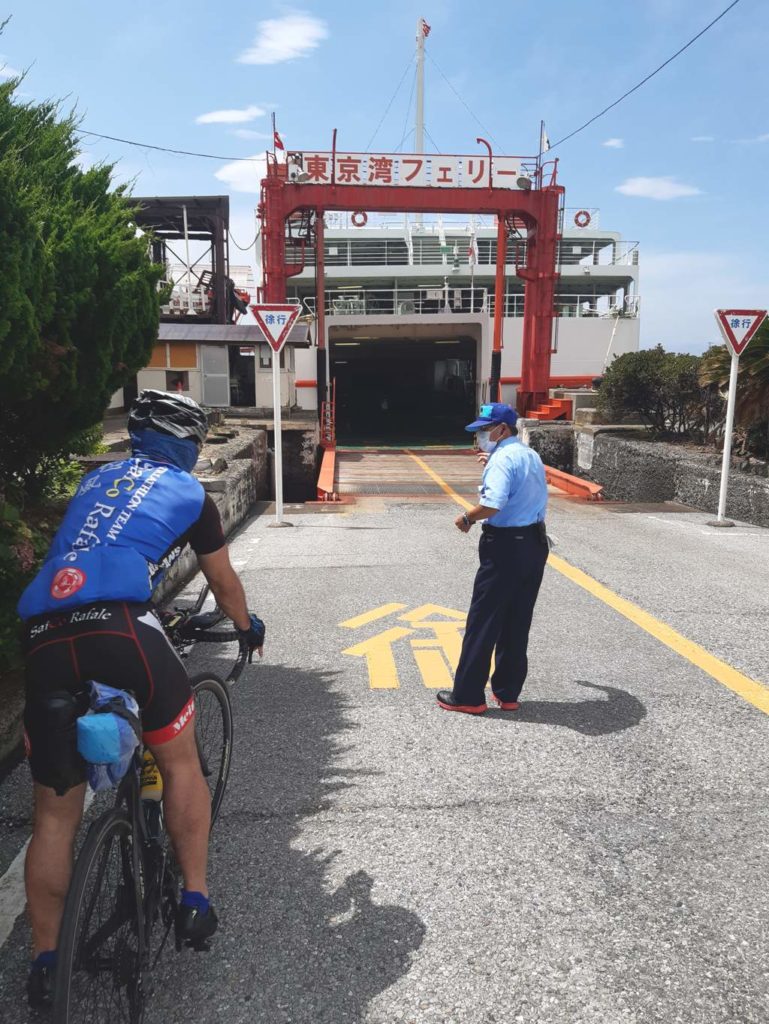
I arrived at Kanaya port at 13:00 and boarded the ferry at 13:30. I was happy to discover that the Tokyo Wan Ferry did not require a rinko bag. When boarding the ship, I met a fellow cyclist in the midst of a 350km ride from Saitama to Boso. After chatting a bit, we started talking about riding Mount Fuji. A few years ago, he rode the Subaru Line with an MTB and then carried the bike on his shoulders for the remaining 1000mt of elevation. From the peak of Mt. Fuji, he then descended by bike following a path used by service vehicles. What an impressive ride.
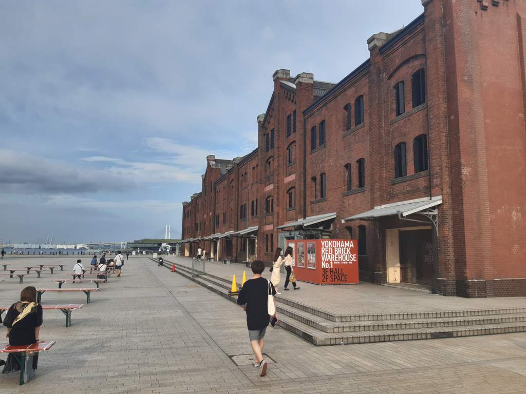
From Kurihama, I headed to Yokosuka harbor, home of a large US Navy base. Yokosuka is not the best for cycling. Lots of tunnels and traffic. The riding conditions, however, improved in the Yokohama area, where I took a short break at the waterfront facing Minato Mirai. From there, I rode into Kawasaki, passed the Tama river, and entered Tokyo.
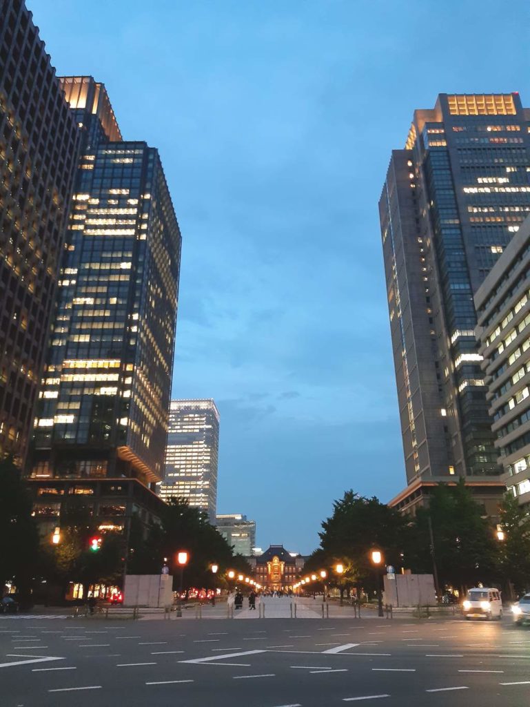
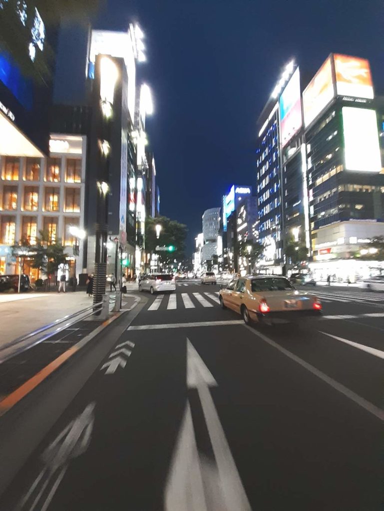
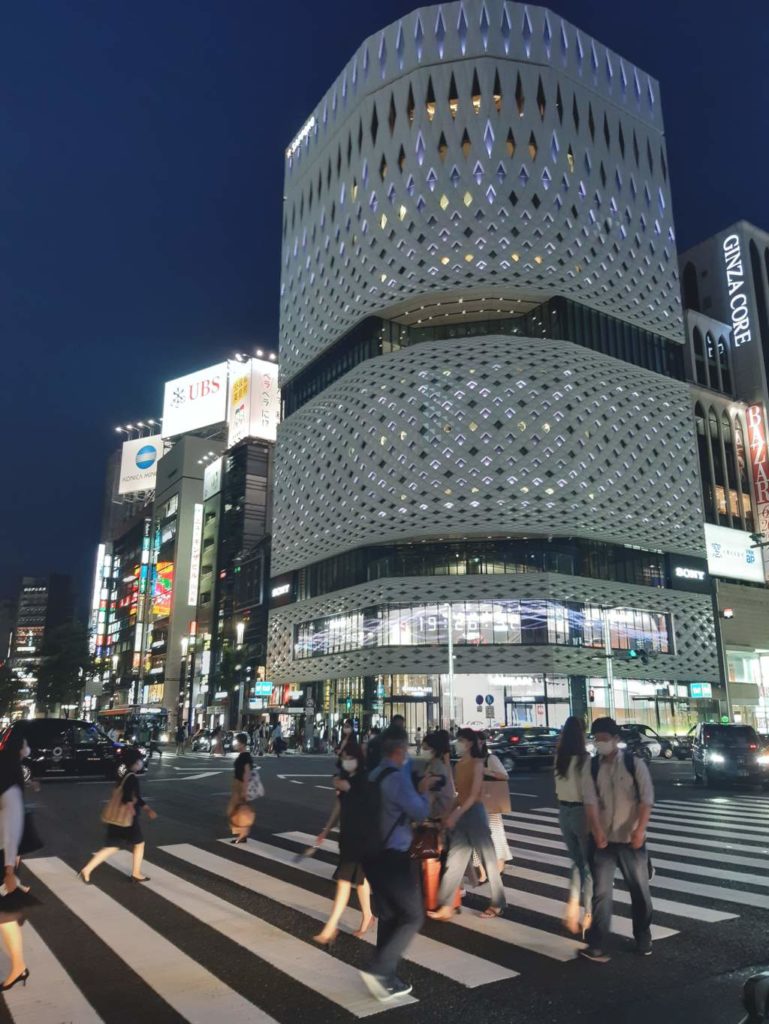
With the exception of Boso peninsula, most of the route is in urban areas. Although it is possible to find cycling paths inside cities, the majority of the roads are shared with cars and interrupted by traffic lights. For this reason, I would say that there are more pleasant routes to follow around Tokyo. However, it was interesting to cycle along the bay and across three prefectures. Everyone knows that the Tokyo Metropolitan area is massive, but only riding across it is possible to fully appreciate its scale.